Global Volcanism Program | Image GVP-02973

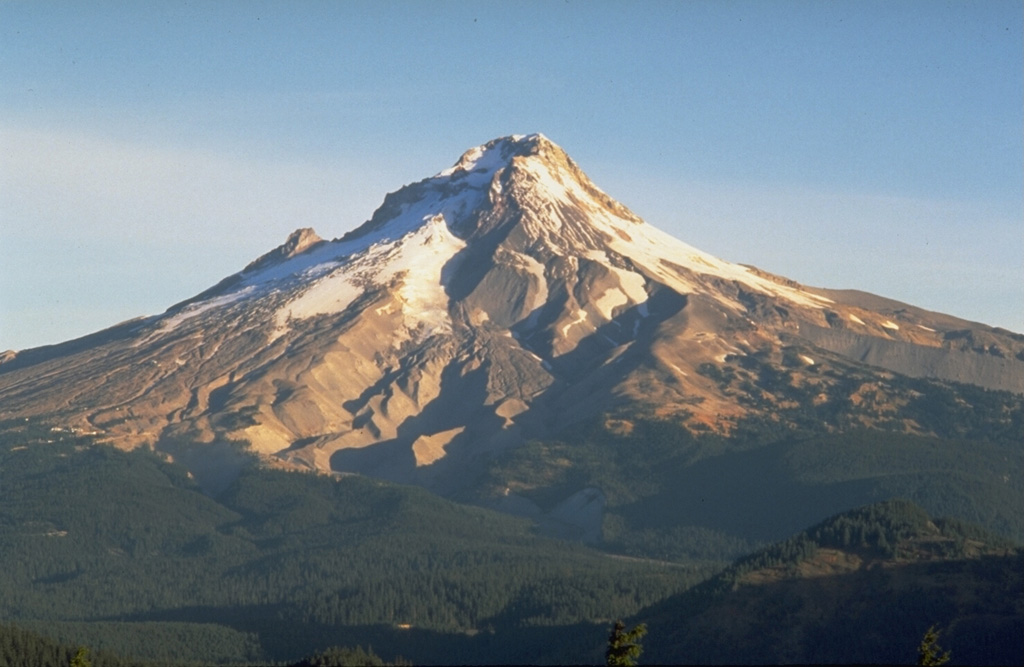
Mount Hood is seen here from Frog Butte on the SE side and shows the canyons of the White River drainage in the center. The smooth debris fan to its left formed during of growth and collapse of the Crater Rock lava dome just south of the summit. Illumination Rock forms the small peak midway up the left skyline.
Photo by Dave Wieprecht, 1993 (U.S. Geological Survey).
![]() This image is made available as a Public Domain Work, but proper attribution is appreciated.
This image is made available as a Public Domain Work, but proper attribution is appreciated.
Keywords: stratovolcano | erosion

Hood
