Global Volcanism Program | Image GVP-03190

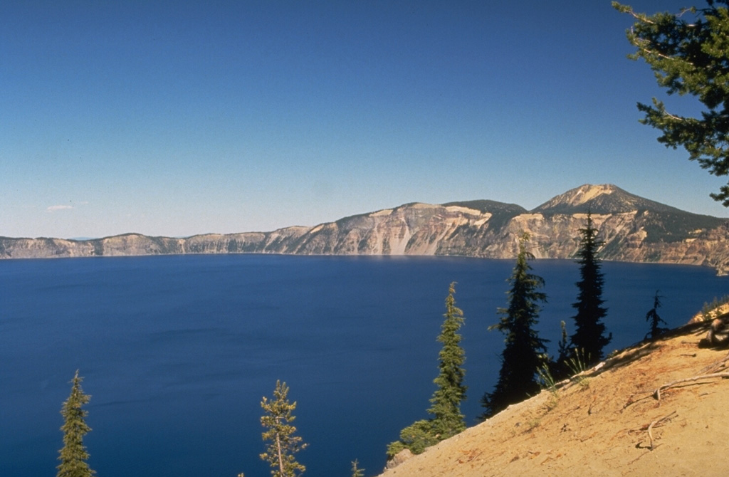
The 8 x 10 km wide Crater Lake caldera was formed about 7,700 years ago when Mount Mazama, a complex of overlapping stratovolcanoes, collapsed following a major explosive eruption. The eruption produced widespread ashfall and pyroclastic flows that traveled as far as 70 km. The caldera, seen here from the S rim, is 1,200 m deep and filled to half its depth by Crater Lake.
Photo by Dave Wieprecht, 1995 (U.S. Geological Survey).
![]() This image is made available as a Public Domain Work, but proper attribution is appreciated.
This image is made available as a Public Domain Work, but proper attribution is appreciated.
Galleries: Calderas
Keywords: caldera | crater lake

Crater Lake
