Global Volcanism Program | Image GVP-04460

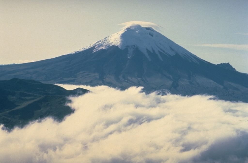
A combination of frequent eruptions, a high water budget locked up in its summit icecap, and its location atop the topographic axis of the Ecuadorian Andes make Cotopaxi a prime source of lahars (volcanic mudflows). During historical time, lahars have swept drainages to the north along the Río Pita and Río Guayllabamba all the way to the Pacific Ocean and into the western Amazon basin down the Río Cutuchi to the SW and the Río Napo to the east. More than 130,000 people occupy areas subject to lahar risk from Cotopaxi.
Copyrighted photo by Katia and Maurice Krafft, 1983.
Copyrighted image used with permission. All Rights Reserved. Contact photographer for any usage requests.

Cotopaxi
