Global Volcanism Program | Image GVP-10039

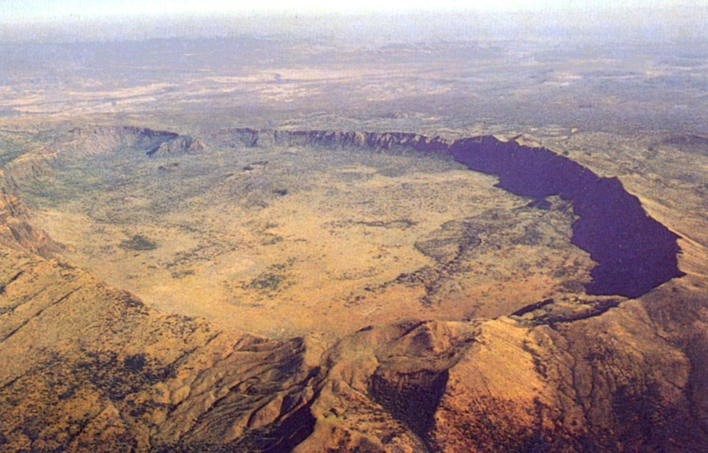
The impressive 5 x 8 km summit caldera of Silali volcano is seen in an aerial view from the SE. Formation of the 300-m-deep caldera is related to the incremental eruption of basaltic and trachytic lava flows about 63,000 years ago. N-S-trending rift valley faults cutting across the volcano can be seen at the lower left. Some of cones on the caldera floor and flanks may be little more than a few hundred years old.
Photo by Martin Smith, 1993 (copyright British Geological Survey, NERC).
Copyrighted image used with permission. All Rights Reserved. Contact photographer for any usage requests.
Galleries: Calderas
Keywords: caldera

Silali
