Global Volcanism Program | Image GVP-11914

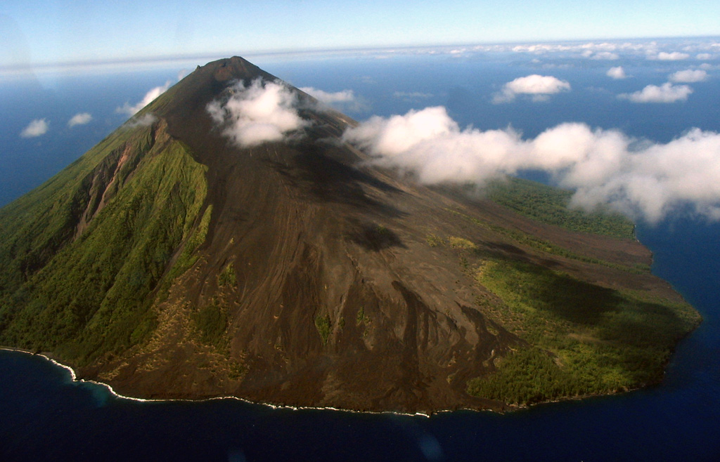
Lopevi is seen here in an aerial view from the NW, with lava flows that erupted from NW-SE-trending fissures forming the barren slopes in the foreground. The small 7-km-wide island is known locally as Vanei Vollohulu. Historical eruptions date back to the mid-19th century. The island was evacuated following major eruptions in 1939 and 1960.
Photo by Karoly Nemeth, 2005 (Massey University).
![]() This image is made available under the Creative Commons BY-NC 4.0 license terms.
This image is made available under the Creative Commons BY-NC 4.0 license terms.
Keywords: island volcano | crater

Lopevi
