Global Volcanism Program | Image GVP-12426

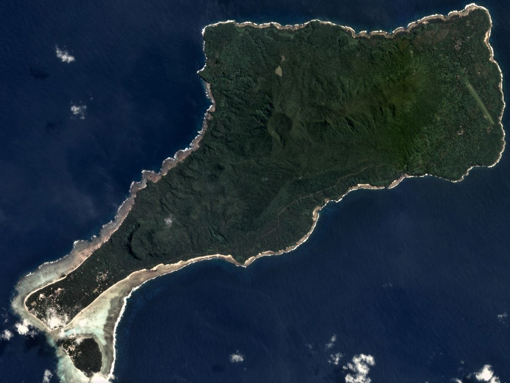
Motlav or Mota Lava island is part of the Vanuatu northern Banks Islands, shown in this April 2019 Planet Labs satellite image monthly mosaic (N is at the top; this image is approximately 12 km across). The NE-SW central ridge contains eroded late Pleistocene eruptive centers. Two younger cones are visible here, Tuntog near the center of this image and Vetman to the SW.
Satellite image courtesy of Planet Labs Inc., 2019 (https://www.planet.com/).
Copyrighted image used with permission. All Rights Reserved. Contact photographer for any usage requests.
Keywords: crater

Motlav
