Etna (Italy) | 14 August-20 August 2024 | New Activity / Unrest
 Cite this Report Cite this Report
|
 Etna Etna
Sicily Volcanic Province
|
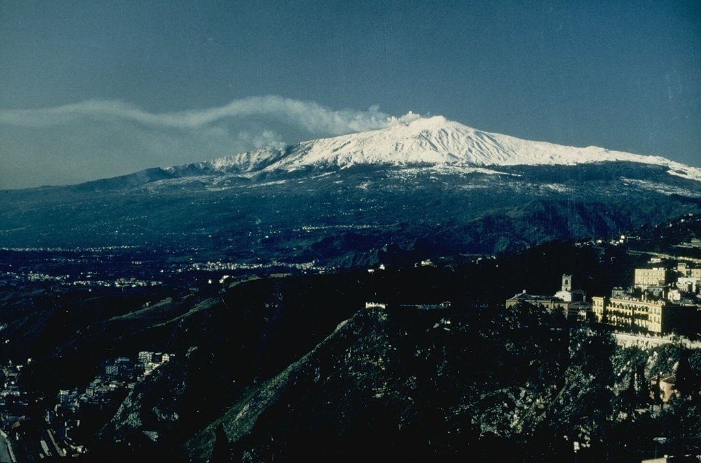
INGV reported that activity at Etna’s summit craters continued during 12-18 August. Strombolian activity at Voragine Crater during 12-13 August ejected lava fragments that fell on the cone’s flanks. The seismic network recorded significant increases in tremor levels during 1700-2000 on 14 August and webcam images showed that Strombolian activity at Voragine Crater intensified. The Strombolian activity become lava fountaining by 0030 on 15 August and lava overflowed the W crater rim at Bocca Nuova Crater. Ash plumes at the peak of the activity rose as high as 9.5 km a.s.l. (about 6.2 km above the summit) and drifted SSW and ESE. Tephra fell in several areas including Belpasso, Pedara, Nicolosi, Ragalna, Mascalucia, Tremestieri Etneo, Gravina di Catania, Catania, Viagrande, Milo, Zafferana, Santa Tecla, Giarre, Santa Venerina Aci Bonaccorso, and Syracuse. According to a news article the Aeroporto de Catania (also called the Catania-Fontanarossa Airport) closed due to ashfall on the runways, with flights either being canceled, rescheduled, or diverted to other airports. The lava fountaining began to decrease at around 0230 and ceased at 0320. A two-minute-long explosion was recorded at 0328 and was followed by moderate level of Strombolian activity that gradually decreased. During a field inspection on 15 August scientists observed the new lava flows and noted that they overlapped the 4 August flows and descended farther SW. Lava from the fountaining event continued to fill in Bocca Nuova Crater and partially filled in NE Crater.
Two explosion sequences at Bocca Nuova Crater were recorded at 0430 and 0459 on 18 August and lasted four and six minutes, respectively. The explosions produced eruptive clouds that drifted ENE and rapidly dissipated. The explosions may have reopened the N vent because a thermal anomaly and almost continuous gas emissions from Bocca Nuova followed the events. Strombolian activity at Voragine Crater was also observed on 18 August.
Sources: Sezione di Catania - Osservatorio Etneo (INGV), Euronews
|
Sheveluch (Russia) | 14 August-20 August 2024 | New Activity / Unrest
 Cite this Report Cite this Report
|
 Sheveluch Sheveluch
Eastern Kamchatka Volcanic Arc
|
KVERT reported that thermal anomalies at Sheveluch, over both the “300 years of RAS” dome on the SW flank of Old Sheveluch and the lava dome in the crater of Young Sheveluch, were identified in satellite images during 8-15 August.
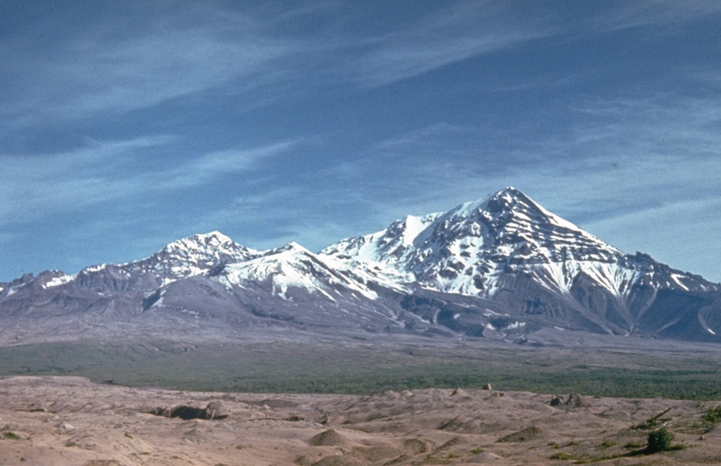
An explosive eruption at the “300 years of RAS” dome began at 1145 on 17 August and generated ash plumes that rose as high as 9 km (30,000 ft) a.s.l. by 1200, about 5.7 km above the summit. Both the Institute of Volcanology and Seismology, Far Eastern Branch, Russian Academy of Sciences (IVS FEB RAS) and the Kamchatka Volcanological Station reported that two vents on the W flank were active and producing ash plumes. Lightning strikes occurred within the ash plumes. Ashfall was reported in Ust'-Kamchatsk (100 km SE) and by 1550 the plumes had drifted 492 km SE. KVERT raised the Aviation Color Code to Red (the highest level on a four-color scale) at 2040. Incandescence from the vents was visible at night.
Explosive activity persisted, producing ash plumes to lower altitudes, or as high as 5 km (16,400 ft) a.s.l., at least through 0553 on 18 August. The plumes drifted SE and ESE and had drifted as far as 1,520 km. By 1920 the leading edge of a 1,900-km-long ash cloud was 2,400 km from the volcano. At 2033 the Aviation Color Code was lowered to Orange. KVERT noted that although the explosive phase had likely ended, extrusion from two vents near the “300 years of RAS” dome was ongoing; one of the vents was likely new.
Sources: Kamchatkan Volcanic Eruption Response Team (KVERT), Kamchatka Volcanological Station, Institute of Volcanology and Seismology (IVS) of the Far Eastern Branch of the Russian Academy of Sciences (FEB RAS)
|
Whakaari/White Island (New Zealand) | 14 August-20 August 2024 | New Activity / Unrest
 Cite this Report Cite this Report
|
 Whakaari/White Island Whakaari/White Island
Taupo Volcanic Zone
|
On 16 August GeoNet reported that a modest increase in ash content of emissions at Whakaari/White Island began on 9 August, based on satellite data. The gas-and-ash plumes rose as high as 2 km above the vent and drifted tens of kilometers from the island. Higher concentrations of volcanic gas emissions were detected during a 14 August gas observation overflight compared to the last overflight on 18 July. The emissions rose from a new vent that was 10-15 m in diameter and contained minor amounts of ash. Analysis of an ash sample collected during the overflight indicated a shallow magma source; the recent data confirmed that eruptive activity had changed around the beginning of August. The Volcanic Alert Level remained at 3 (on a scale of 0-5) and the Aviation Color Code remained at Orange (the second highest level on a four-color scale).
Source: GeoNet
|
Aira (Japan) | 14 August-20 August 2024 | Continuing Activity Cite this Report Cite this Report |
 Aira Aira
Ryukyu Volcanic Arc
|
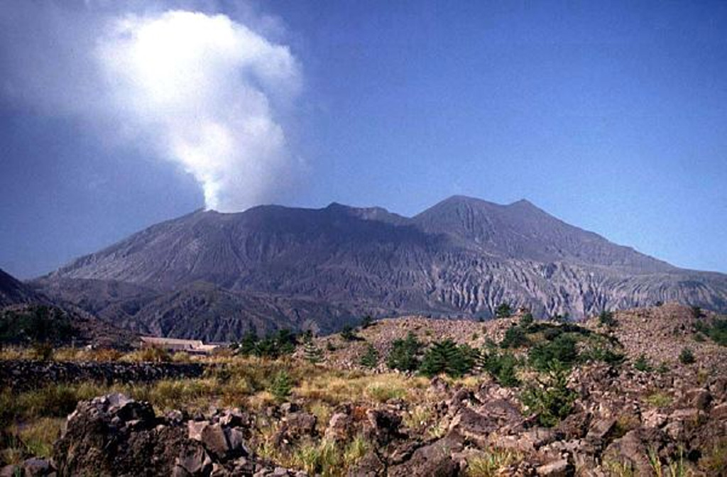
JMA reported ongoing eruptive activity at Minamidake Crater (Aira Caldera’s Sakurajima volcano) during 12-19 August. Nighttime crater incandescence was visible in webcam images. An eruptive event at 0541 on 12 August produced an ash plume that rose 1.5 km above the crater rim. Sulfur dioxide emissions were somewhat high, averaging 1,500 tons per day (t/d) on 14 August. An ash plume from an eruptive event at 1831 on 18 August rose 1.1 km above the crater rim and drifted NW. The Alert Level remained at 3 (on a 5-level scale), and the public was warned to stay 1 km away from both craters.
Source: Japan Meteorological Agency (JMA)
|
Alaid (Russia) | 14 August-20 August 2024 | Continuing Activity Cite this Report Cite this Report |
 Alaid Alaid
Kuril Volcanic Arc
|
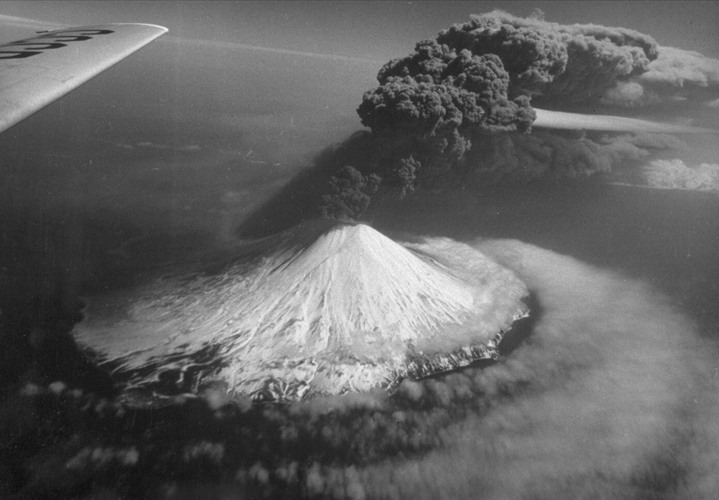
Although Alaid was not erupting, KVERT issued a Volcano Observatory Notice for Aviation (VONA) at 0307 on 16 August raising the Aviation Color Code to Orange (the second highest level on a four-color scale) to warn pilots of ash. Satellite images showed a plume of ash, that had been resuspend from the S flank, drifting 45 km SSE at altitudes of 2.5-3 km (8,200-10,000 ft) a.s.l. The Aviation Color Code was lowered back to Green at 0545 that same day. Dates are based on UTC times; specific events are in local time where noted.
Source: Kamchatkan Volcanic Eruption Response Team (KVERT)
|
Dukono (Indonesia) | 14 August-20 August 2024 | Continuing Activity Cite this Report Cite this Report |
 Dukono Dukono
Halmahera Volcanic Arc
|
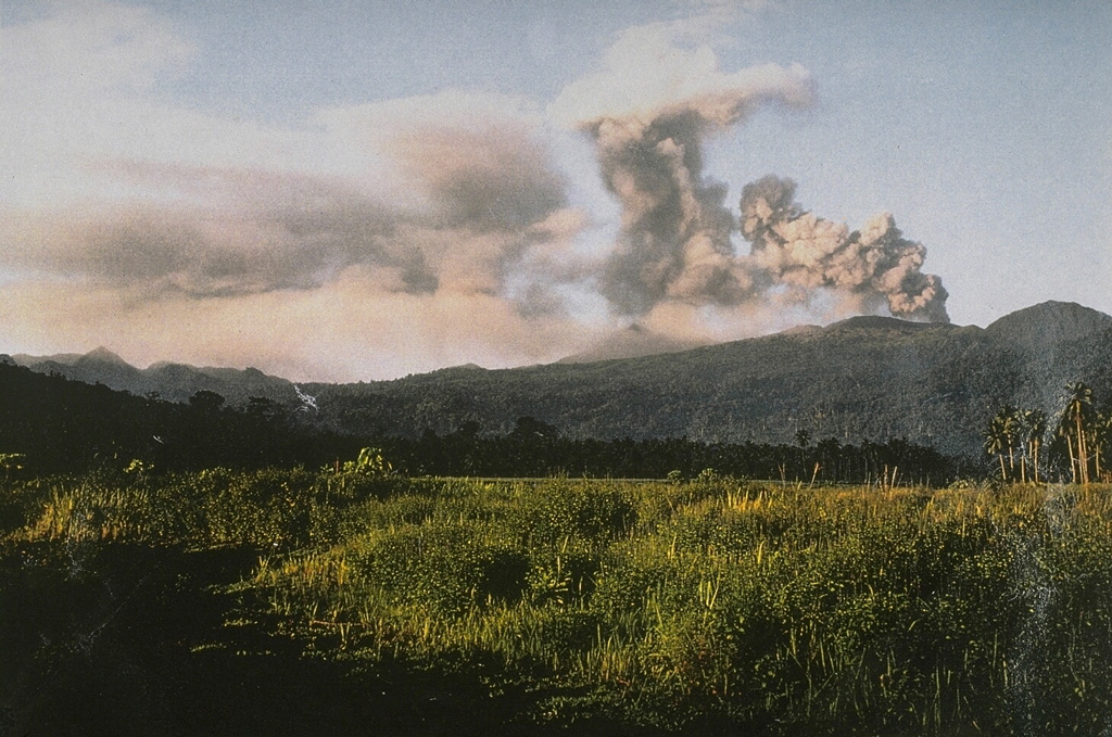
PVMBG reported that the eruption at Dukono was ongoing during 14-20 August. Gray-and-white ash plumes that were sometimes dense rose 100-1,000 m above the summit and drifted SW and W on most days; white plumes rose 200-400 m above the summit and drifted W on 15 August, and no emissions were observed on 20 August. The Alert Level remained at Level 2 (on a scale of 1-4), and the public was warned to remain outside of the 3-km exclusion zone.
Source: Pusat Vulkanologi dan Mitigasi Bencana Geologi (PVMBG, also known as CVGHM)
|
Ebeko (Russia) | 14 August-20 August 2024 | Continuing Activity Cite this Report Cite this Report |
 Ebeko Ebeko
Kuril Volcanic Arc
|
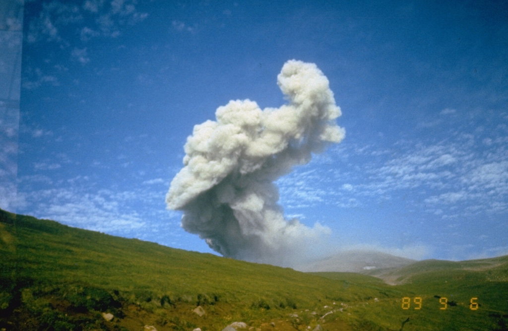
KVERT reported that moderate explosive activity was ongoing at Ebeko during 8-15 August. According to volcanologists in Severo-Kurilsk (Paramushir Island, about 7 km E), explosions during 14-15 August generated ash plumes that rose as high as 3.5 km (11,500 ft) a.s.l. and drifted SE. On other days either no activity was observed in satellite images or weather conditions prevented views. The Aviation Color Code remained at Orange (the third level on a four-color scale). Dates are UTC; specific events are in local time where noted.
Source: Kamchatkan Volcanic Eruption Response Team (KVERT)
|
Fuego (Guatemala) | 14 August-20 August 2024 | Continuing Activity Cite this Report Cite this Report |
 Fuego Fuego
Central America Volcanic Arc
|
INSIVUMEH reported that eruptive activity continued at Fuego during 13-20 August. Daily explosions were recorded by the seismic network, averaging 3-11 per hour. The explosions generated gas-and-ash plumes that rose as high as 1.1 km above the crater rim and drifted as far as 30 km NW, W, and SW. The explosions ejected incandescent material 50-300 m above the summit on most days and produced avalanches of material that descended the flanks, sometimes reaching vegetated areas. Weak rumbling sounds were reported on most days. Ashfall was reported on a few of the days in areas downwind including Panimaché I and II (8 km SW) Finca Palo Verde (10 km SW), El Porvenir (10 km S), Santa Sofia (12 km SW), Sangre de Cristo (10 km SW), Morelia (10 km SW), Los Yucales (12 km SW), Yepocápa (8 km NW), and other nearby communities. Ashfall was forecast for areas downwind on some of the other days. During the afternoon of 18 August lahars descended the Seca, Mineral, Ceniza, and Zarco drainages, carrying tree branches, trunks, and blocks as large as 1.5 m in diameter.
Source: Instituto Nacional de Sismologia, Vulcanologia, Meteorologia, e Hidrologia (INSIVUMEH)
|
Great Sitkin (United States) | 14 August-20 August 2024 | Continuing Activity Cite this Report Cite this Report |
 Great Sitkin Great Sitkin
Aleutian Ridge Volcanic Arc
|
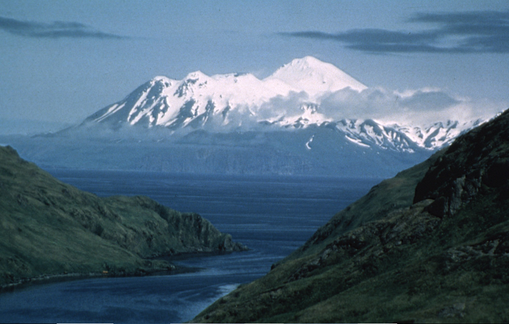
AVO reported that slow lava effusion in Great Sitkin’s summit crater continued during 13-20 August. Seismicity was low with few small daily earthquakes. Slightly elevated surface temperatures were identified in partly cloudy satellite views during 18-19 August. Weather clouds often obscured satellite and webcam views. The Volcano Alert Level remained at Watch (the third level on a four-level scale) and the Aviation Color Code remained at Orange (the third color on a four-color scale).
Source: US Geological Survey Alaska Volcano Observatory (AVO)
|
Ibu (Indonesia) | 14 August-20 August 2024 | Continuing Activity Cite this Report Cite this Report |
 Ibu Ibu
Halmahera Volcanic Arc
|
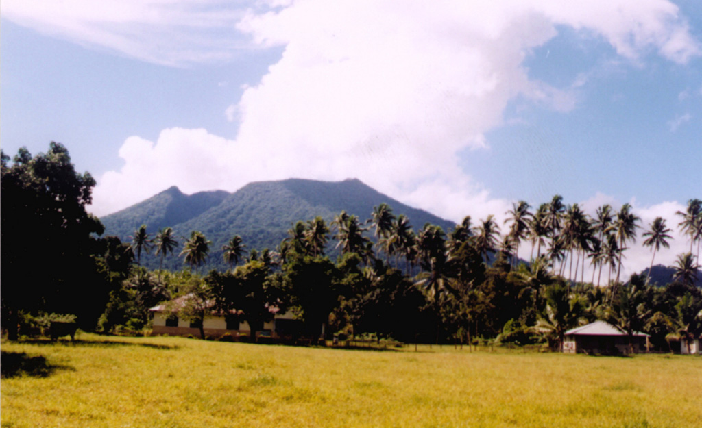
PVMBG reported that activity at Ibu continued during 14-20 August with multiple eruptive events recorded daily. Daily gray or white-and-gray ash plumes that were sometimes dense rose as high as 1.5 km above the summit and drifted N, NW, W, and SW. Some webcam images posted with the reports showed incandescence emanating above the crater rim, possibly reflected in the emissions. At 0252 an ash plume rose as high as 5 km above the crater rim and drifted W. The Alert Level remained at 3 (the second highest level on a four-level scale) and the public was advised to stay 4 km away from the active crater and 5 km away from the N crater wall opening.
Source: Pusat Vulkanologi dan Mitigasi Bencana Geologi (PVMBG, also known as CVGHM)
|
Karymsky (Russia) | 14 August-20 August 2024 | Continuing Activity Cite this Report Cite this Report |
 Karymsky Karymsky
Eastern Kamchatka Volcanic Arc
|
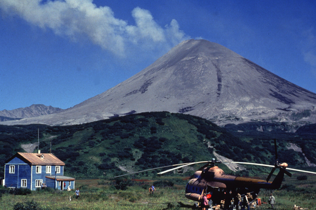
KVERT reported moderate levels of activity at Karymsky during 8-15 August. A thermal anomaly over the volcano was identified in satellite images during 10-11 and 13-14 August; weather clouds obscured views on the other days during the week. The Aviation Color Code remained at Orange (the third level on a four-color scale). Dates are based on UTC times; specific events are in local time where noted.
Source: Kamchatkan Volcanic Eruption Response Team (KVERT)
|
Lewotobi (Indonesia) | 14 August-20 August 2024 | Continuing Activity Cite this Report Cite this Report |
 Lewotobi Lewotobi
Sunda Volcanic Arc
|
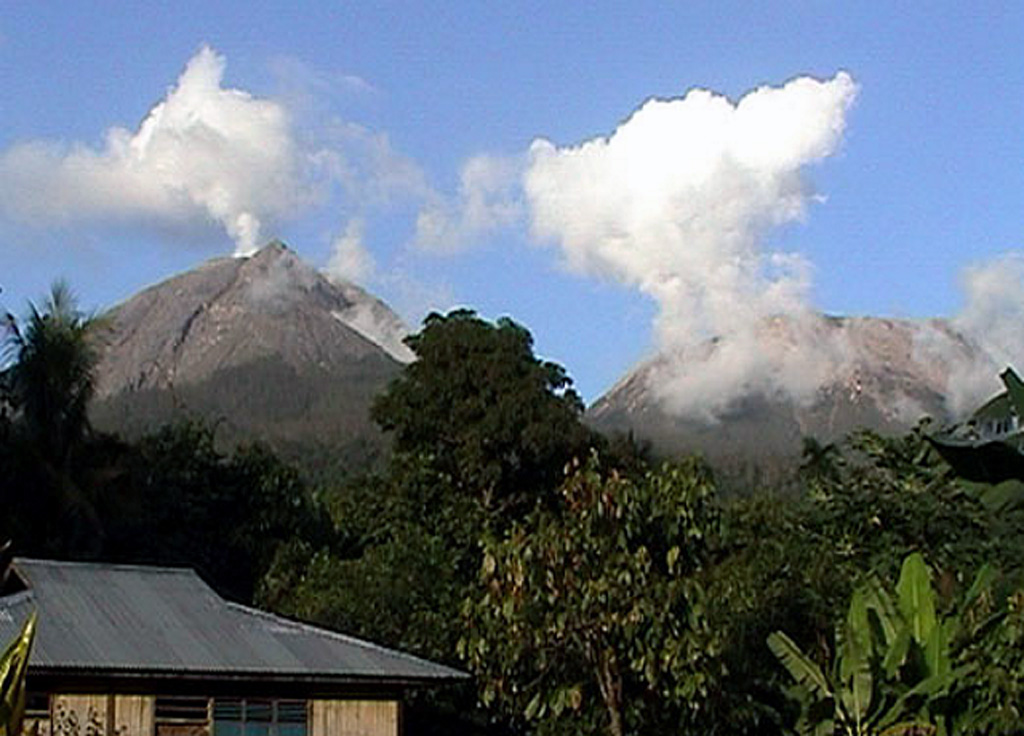
PVMBG reported that eruptive activity at Lewotobi’s Laki-laki volcano continued during 14-20 August. Daily gray or white-and-gray ash plumes that were sometimes dense rose as high as 1.5 km above the summit and drifted mainly SW, W, and NW. Incandescence near the summit crater was visible in a 14 August webcam image. The Alert Level remained at 3 (the second highest level on a scale of 1-4) and the public was warned to stay outside of the exclusion zone, defined as a 3-km radius around both Laki-laki and Perempuan craters, 4 km to the NNW and SSE of Laki-laki.
Source: Pusat Vulkanologi dan Mitigasi Bencana Geologi (PVMBG, also known as CVGHM)
|
Merapi (Indonesia) | 14 August-20 August 2024 | Continuing Activity Cite this Report Cite this Report |
 Merapi Merapi
Sunda Volcanic Arc
|
BPPTKG reported that the eruption at Merapi (on Java) continued during 9-15 August. Earthquakes were around the same intensity compared to the previous week. The SW lava dome produced 289 lava avalanches that traveled as far as 1.9 km SW down the upper part of the Bebeng drainage, one that traveled 1 km S down the Boyong drainage, and one that traveled 1.5 km W down the Batang drainage. Morphological changes to the SW lava dome were due to continuing effusion and collapses of material. The Alert Level remained at 3 (on a scale of 1-4), and the public was warned to stay 3-7 km away from the summit, based on location.
Source: Balai Penyelidikan dan Pengembangan Teknologi Kebencanaan Geologi (BPPTKG)
|
Nevado del Ruiz (Colombia) | 14 August-20 August 2024 | Continuing Activity Cite this Report Cite this Report |
 Nevado del Ruiz Nevado del Ruiz
Northern Andean Volcanic Arc
|
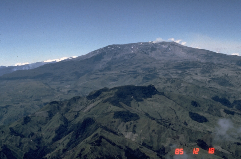
Servicio Geológico Colombiano’s (SGC) Observatorio Vulcanológico y Sismológico de Manizales reported that eruptive activity at Nevado del Ruiz continued during 13-19 August. The number of seismic events associated with fluid movement increased in both magnitude and number compared to the previous week but were variable throughout the week. Through webcams several ash emissions associated with these events were confirmed along with the occasional ejection of hotter material. Ashfall was reported in the municipalities of Villamaría (28 km NW) and Manizales (28 km NW), especially during 17-18 August. Seismicity associated with rock fracturing decreased in both the number of events and their magnitudes compared to the previous week; these earthquakes, with depths ranging from less than 1 km down to 8 km below the summit, were primarily located beneath the NW, ESE, and SE flanks of Arenas Crater and within 8 km N and NE of the crater. The largest event was an M 1 which was detected at 1747 on 13 August and located about 8 km ESE and 5 km deep. Sulfur dioxide emissions were variable, and gas plumes rose as high as 1.2 km above the crater rim and drifted NW, W, and WSW. Thermal anomalies on the crater floor were identified in satellite data, though weather conditions often obscured views. The Alert Level remained at Yellow (the second level on a four-level scale), and the public was warned to stay out of the restricted areas around Arenas Crater, not to spend long periods of time on the Murillo-Cerro Gualí Road, and to avoid drainages in the high-threat zones.
Source: Servicio Geológico Colombiano (SGC)
|
Popocatepetl (Mexico) | 14 August-20 August 2024 | Continuing Activity Cite this Report Cite this Report |
 Popocatepetl Popocatepetl
Trans-Mexican Volcanic Belt
|
CENAPRED reported that eruptive activity continued at Popocatépetl during 13-20 August. The seismic network recorded 25-105 long-period events per day that were accompanied by steam-and-gas emissions which sometimes contained minor amounts of ash. The seismic network also recorded daily periods of tremor as short as nine and a half minutes to as long almost two hours. During 13-15 and 18-19 August there were a few periods, 32-59 minutes long, of continuous emissions. Three volcano-tectonic earthquakes were recorded during 16-17 August. According to the Washington VAAC gas plumes with mostly low ash content were identified in both webcam and satellite images during 13-15 and 17 August and rose to 6.1-6.7 km (20,000-22,000 ft) a.s.l. (or as high as 1.3 km above the crater rim) and drifted N, NW, W, and SW. A thermal anaonly was identified in a satellite at 0951 on 14 August. The Alert Level remained at Yellow, Phase Two (the middle level on a three-color scale) and the public was warned to stay 12 km away from the crater.
Sources: Centro Nacional de Prevencion de Desastres (CENAPRED), Washington Volcanic Ash Advisory Center (VAAC)
|
Reventador (Ecuador) | 14 August-20 August 2024 | Continuing Activity Cite this Report Cite this Report |
 Reventador Reventador
Northern Andean Volcanic Arc
|
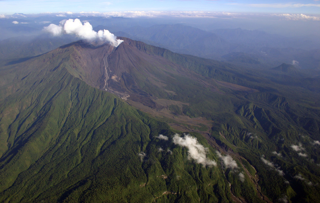
IG-EPN reported that an eruption at Reventador was ongoing during 13-20 August. Seismicity was characterized by 43-100 daily explosions on most days, along with long-period earthquakes, harmonic tremor, and tremor associated with emissions during the beginning of the week; data transmissions from the seismic station were occasionally interrupted. Several ash-and-gas plumes were observed on most days rising 300-800 m above the crater rim and drifting N, WNW, and W. Weather conditions occasionally prevented visual observations, particularly on 16 August. Thermal anomalies in the crater were identified in satellite images on most days. Secretaría de Gestión de Riesgos maintained the Alert Level at Orange (the second highest level on a four-color scale).
Sources: Instituto Geofísico-Escuela Politécnica Nacional (IG-EPN), Secretaría de Gestión de Riesgos (SGR)
|
Sangay (Ecuador) | 14 August-20 August 2024 | Continuing Activity Cite this Report Cite this Report |
 Sangay Sangay
Northern Andean Volcanic Arc
|
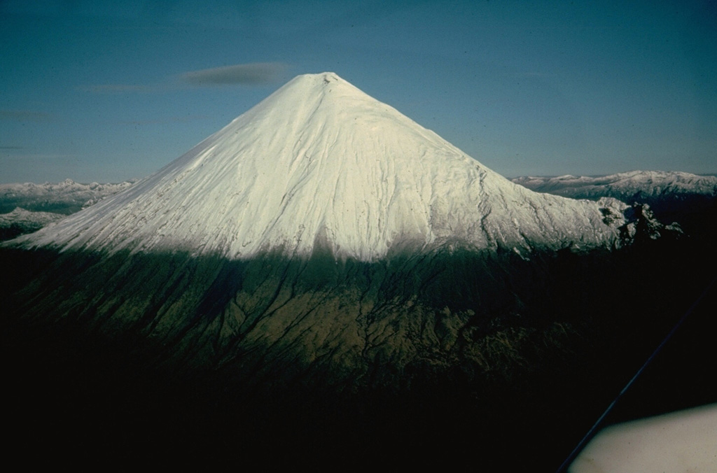
IG-EPN reported that high levels of eruptive activity continued at Sangay during 13-20 August and the seismic network recorded 189-273 daily explosions. Daily gas-and-ash plumes were visible in webcam and/or satellite images and rose 500-2,000 m above the summit and drifted mainly WNW, W, WSW, and SW. Weather conditions sometimes obscured views. Incandescent material at the summit crater was periodically visible at dark hours during most of week. During 17-19 August there were several episodes of incandescent material being ejected 1 km above the summit and descending the SE drainage as far as 500 m. Secretaría de Gestión de Riesgos (SGR) maintained the Alert Level at Yellow (the second highest level on a four-color scale).
Sources: Instituto Geofísico-Escuela Politécnica Nacional (IG-EPN), Secretaría de Gestión de Riesgos (SGR)
|
Santa Maria (Guatemala) | 14 August-20 August 2024 | Continuing Activity Cite this Report Cite this Report |
 Santa Maria Santa Maria
Central America Volcanic Arc
|
Instituto Nacional de Sismología, Vulcanologia, Meteorologia e Hidrología (INSIVUMEH) reported that high-level eruptive activity continued at Santa Maria’s Santiaguito lava-dome complex during 13-20 August with lava extrusion, block collapses, and avalanches at the Caliente dome complex. The continuous effusion of blocky lava produced block avalanches on the dome’s flanks and occasional short-range pyroclastic flows that descended multiple flanks. Accumulated material formed a promontory upslope of the 2022 lava flows in the Zanjón Seco (SW) and San Isidro (W) drainages. During most nights and early mornings incandescence was visible around Caliente dome. Daily explosions generated gas-and-ash plumes that rose 700-900 m above the summit and drifted mainly NW, W, and SW. Ashfall was reported in areas downwind includinh Monte Claro (S) during 14-15 August and in San Marcos (8 km SW) and Loma Linda Palajunoj (7 km SW) during 18-19 August. On 18 August a lahar descended the Tambor river in the SSW sector of the volcano carrying sediment, tree trunks, branches, and volcanic blocks up to 1 m in diameter. The lahar was hot and had a sulfur odor.
Source: Instituto Nacional de Sismologia, Vulcanologia, Meteorologia, e Hidrologia (INSIVUMEH)
|
Semeru (Indonesia) | 14 August-20 August 2024 | Continuing Activity Cite this Report Cite this Report |
 Semeru Semeru
Sunda Volcanic Arc
|
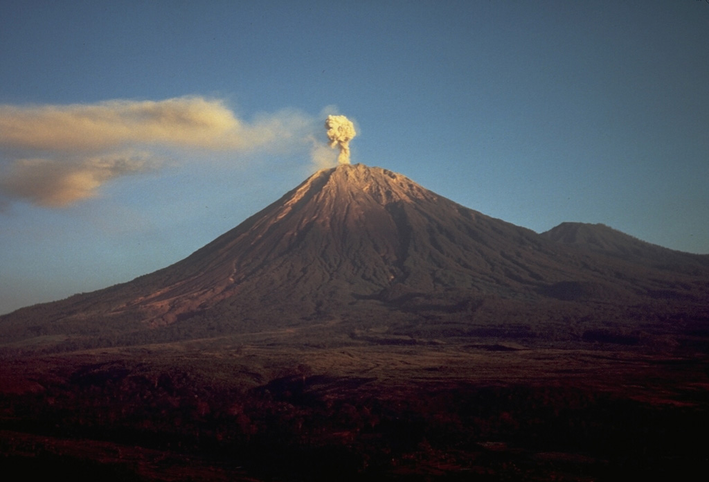
PVMBG reported that eruptive activity continued at Semeru during 14-20 August with multiple daily eruptive events recorded by the seismic network. White-and-gray ash plumes that were sometimes dense rose 300-800 m above the summit and drifted in multiple directions on most days; weather conditions sometimes prevented visual confirmation of the eruptive events, especially on 17 and 21 August. Incandescence at the summit was sometimes visible in webcam images posted with the daily reports. The Alert Level remained at 2 (the second lowest level on a scale of 1-4). The public was warned to stay at least 5 km away from the summit in all directions, 13 km from the summit to the SE, 500 m from the banks of the Kobokan drainage as far as 17 km from the summit, and to avoid other drainages including the Bang, Kembar, and Sat, due to lahar, avalanche, and pyroclastic flow hazards.
Source: Pusat Vulkanologi dan Mitigasi Bencana Geologi (PVMBG, also known as CVGHM)
|
Stromboli (Italy) | 14 August-20 August 2024 | Continuing Activity Cite this Report Cite this Report |
 Stromboli Stromboli
Aeolian Volcanic Arc
|
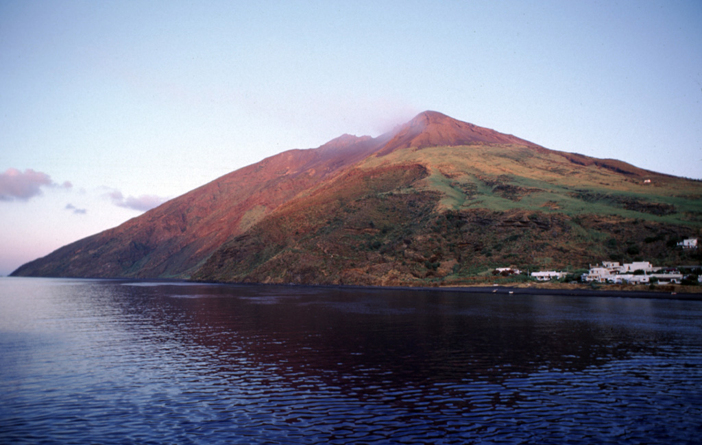
INGV reported that eruptive activity continued at Stromboli during 12-18 August. Webcam images showed Strombolian activity at three vents in Area N within the upper part of the Sciara del Fuoco, and from one vent at S2 in Area C-S (South-Central Crater) on the crater terrace. The variable-intensity explosive activity ejected coarse material (bombs and lapilli) at a low rate. Spattering occurred at the southernmost vent in Area N. Coincident with a peak in spattering activity at Area N at 1845 on 15 August lava began to overflow the crater and rapidly descended the Sciara del Fuoco. The lava flow was active for about three hours and followed a drainage formed during activity in July, reaching around 450 m elevation. The flow was no longer active at 2210 and began to cool.
Source: Sezione di Catania - Osservatorio Etneo (INGV)
|
Suwanosejima (Japan) | 14 August-20 August 2024 | Continuing Activity Cite this Report Cite this Report |
 Suwanosejima Suwanosejima
Ryukyu Volcanic Arc
|
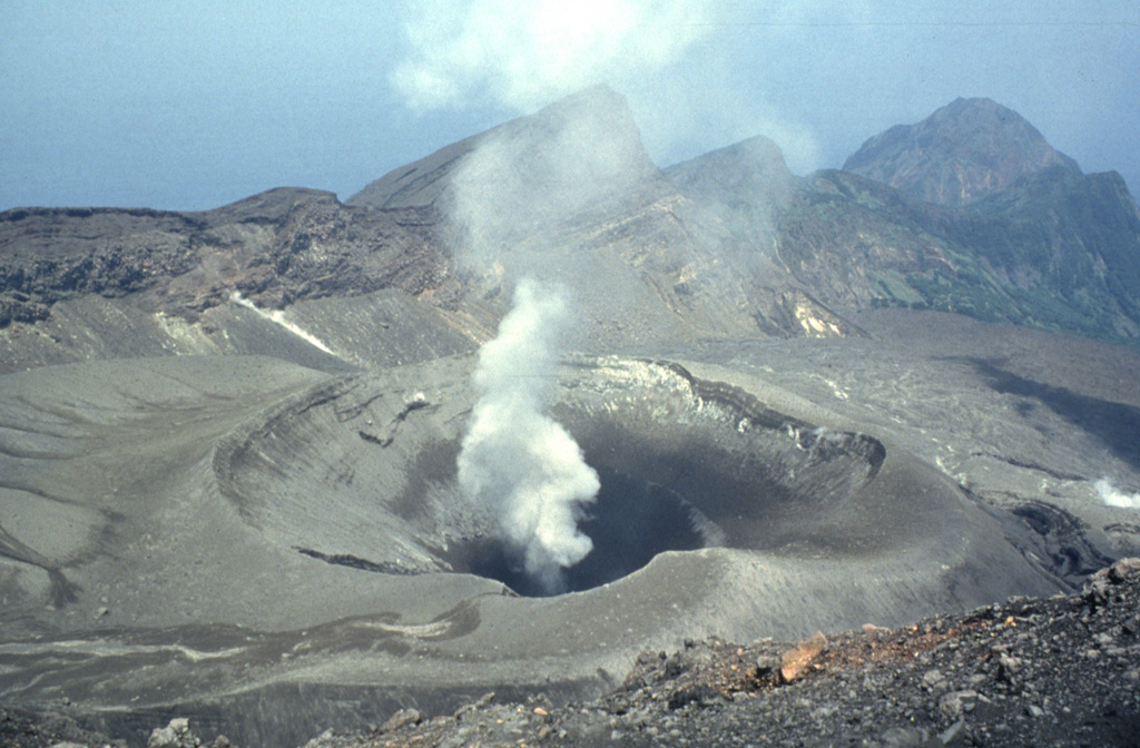
JMA reported that eruptive activity at Suwanosejima's Ontake Crater continued during 12-19 August. Crater incandescence was observed nightly in webcam images. Explosions at 0054 and 0207 on 12 August generated ash plumes that rose 400-600 m above the crater rim and drifted SE. Eruptive events were recorded at 2345 on 12 August, at 0432 on 13 August, at 1559, 1825, 1844, 2018, 2040, 2043, 2337, and 2356 on 15 August, at 0124, 0719, 1351, 1718, 1808, 2037, and 2336 on 16 August, and at 0147 on 17 August. Ash plumes from the events rose 1-1.6 km above the crater rim, sometimes drifting NE, N, NW, and W. The Alert Level remained at 2 (on a 5-level scale) and the public was warned to stay at least 1.5 km away from the crater.
Source: Japan Meteorological Agency (JMA)
|
![]() Download Smithsonian / USGS Weekly Volcanic Activity Report Network Link
Download Smithsonian / USGS Weekly Volcanic Activity Report Network Link
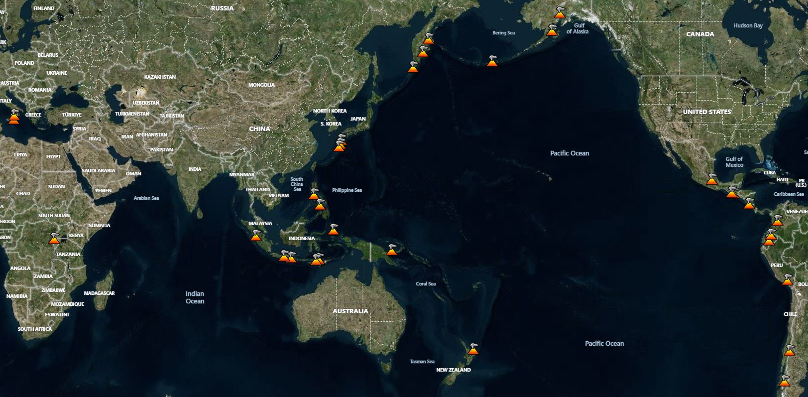
 Etna
Etna Sheveluch
 Whakaari/White Island
 Aira
Aira Alaid
Alaid Dukono
 Ebeko
Ebeko Fuego
Fuego Great Sitkin
 Ibu
Ibu Karymsky
 Lewotobi
 Merapi
 Nevado del Ruiz
 Popocatepetl
 Reventador
 Sangay
 Santa Maria
 Semeru
 Stromboli
 Suwanosejima