Report on Heard (Australia) — 1 May-7 May 2013
Smithsonian Institution / US Geological Survey
Weekly Volcanic Activity Report, 1 May-7 May 2013
Managing Editor: Sally Sennert.
Please cite this report as:
Global Volcanism Program, 2013. Report on Heard (Australia) (Sennert, S, ed.). Weekly Volcanic Activity Report, 1 May-7 May 2013. Smithsonian Institution and US Geological Survey.
Heard
Australia
53.106°S, 73.513°E; summit elev. 2745 m
All times are local (unless otherwise noted)
According to NASA Earth Observatory (EO) an image acquired on 7 April from the Advanced Land Imager (ALI) on NASA's EO-1 satellite showed that Mawson's Peak crater on Heard Island had filled and a lava flow had traveled down the SW flank. The lava flow was visible in an image acquired on 20 April and had slightly widened just below the summit.
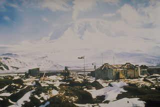
Geological Summary. Heard Island on the Kerguelen Plateau in the southern Indian Ocean consists primarily of the emergent portion of two volcanic structures. The large glacier-covered composite basaltic-to-trachytic cone of Big Ben comprises most of the island, and the smaller Mt. Dixon lies at the NW tip of the island across a narrow isthmus. Little is known about the structure of Big Ben because of its extensive ice cover. The active Mawson Peak forms the island's high point and lies within a 5-6 km wide caldera breached to the SW side of Big Ben. Small satellitic scoria cones are mostly located on the northern coast. Several subglacial eruptions have been reported at this isolated volcano, but observations are infrequent and additional activity may have occurred.
Source: NASA Earth Observatory

