Report on Sabancaya (Peru) — 8 May-14 May 2013
Smithsonian Institution / US Geological Survey
Weekly Volcanic Activity Report, 8 May-14 May 2013
Managing Editor: Sally Sennert.
Please cite this report as:
Global Volcanism Program, 2013. Report on Sabancaya (Peru) (Sennert, S, ed.). Weekly Volcanic Activity Report, 8 May-14 May 2013. Smithsonian Institution and US Geological Survey.
Sabancaya
Peru
15.787°S, 71.857°W; summit elev. 5960 m
All times are local (unless otherwise noted)
On 10 May Instituto Geofísico de Perú (IGP) reported that results of an interferogram of Sabancaya provided by a collaborator at Cornell University showed that an area of deformation (subsidence of 7 cm centered at 6 km NE of the crater) was coincident with the main area of seismicity. Volcano-tectonic (VT) earthquakes continued to dominate the seismic signals, although long-period (LP) events continued to be detected. There was also an increase of hybrid events. On 10 May a M 4 VT event occurred 15 km W and fumarolic activity increased, with plumes rising 1.2 km high.
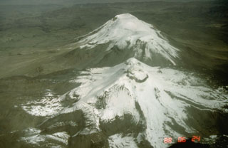
Geological Summary. Sabancaya, located in the saddle NE of Ampato and SE of Hualca Hualca volcanoes, is the youngest of these volcanic centers and the only one to have erupted in historical time. The oldest of the three, Nevado Hualca Hualca, is of probable late-Pliocene to early Pleistocene age. The name Sabancaya (meaning "tongue of fire" in the Quechua language) first appeared in records in 1595 CE, suggesting activity prior to that date. Holocene activity has consisted of Plinian eruptions followed by emission of voluminous andesitic and dacitic lava flows, which form an extensive apron around the volcano on all sides but the south. Records of observed eruptions date back to 1750 CE.

